Tuesday, March 24
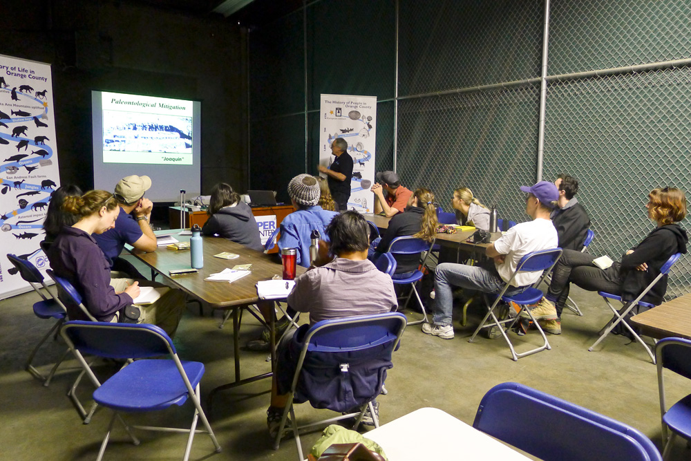
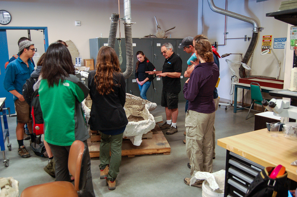
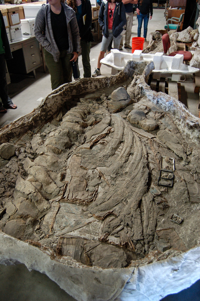
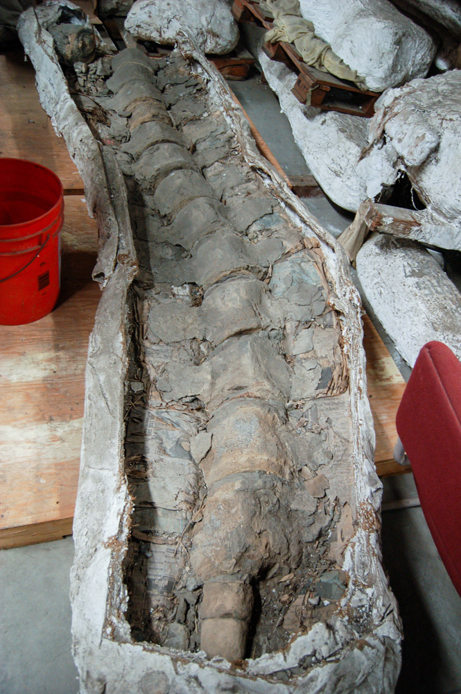
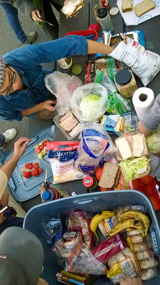
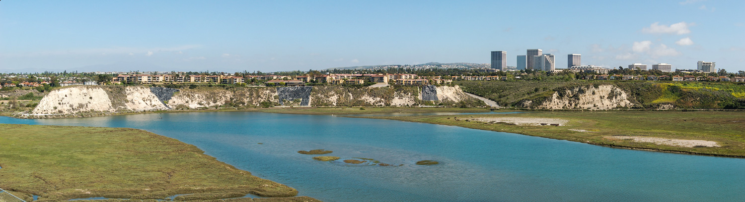
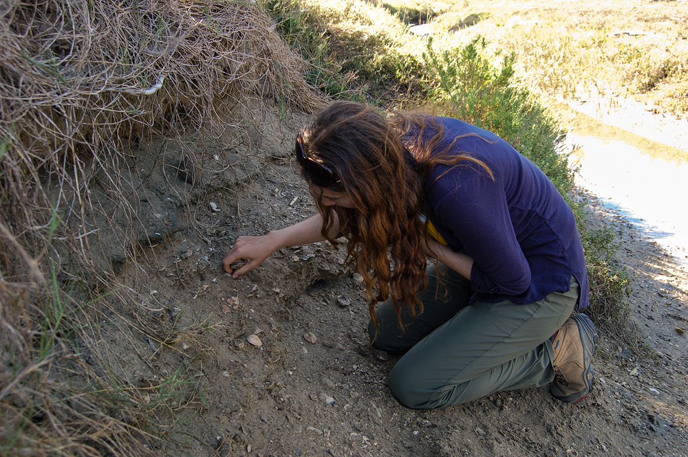
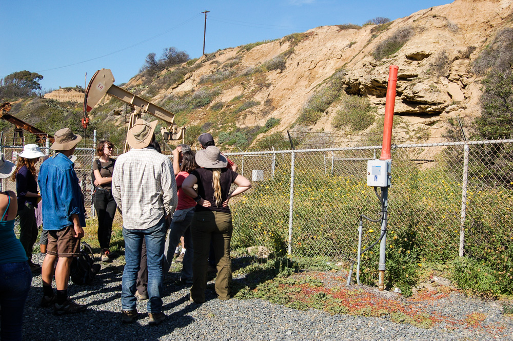
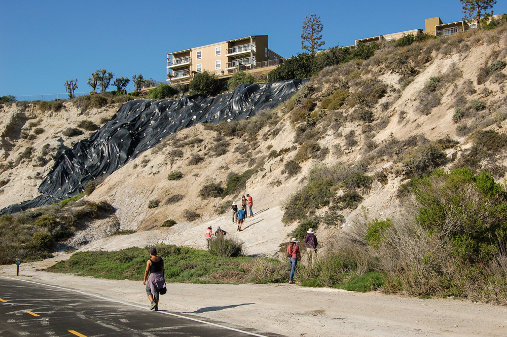
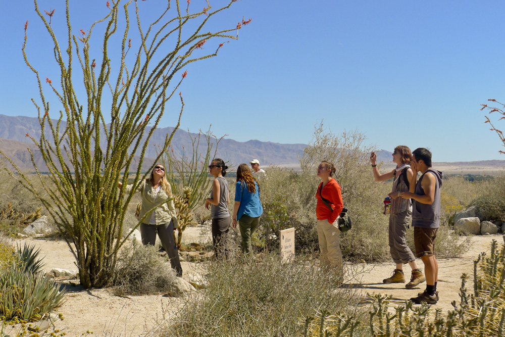
Following a quick breakfast of bagels, we all drove down to the Cooper Center to meet UCMP Professor Emeritus Jere Lipps, now the Center's Director. The Cooper Center is the paleontological and archaeological repository for all Orange County, and since they don't want hordes of visitors popping in, they don't advertise their address. Jere began by showing us a Powerpoint presentation about the facility and then took us on a walking tour of the place, stopping to show us some of the more interesting and/or impressive specimens. We also got an introduction to the archaeological collections from Associate Curator Jeannine Pedersen. After a fast lunch at the Center's outdoor picnic tables, we followed Jere to the Upper Newport Bay Nature Preserve. From the Preserve's grounds, Jere pointed out a sequence of marine terraces, and once again, exposures of the Monterey Formation. We made a number of stops at points on the west side of the Bay, including a small exposure full of bivalve fossils near the Newport Aquatic Center and an oil pumping facility along the Inglewood Fault off of State Route 1. We then moved to the east side of the Bay and walked along the Mountains to the Sea Trail and Bikeway which parallels eroding cliffs of exposed Monterey Formation diatomites.
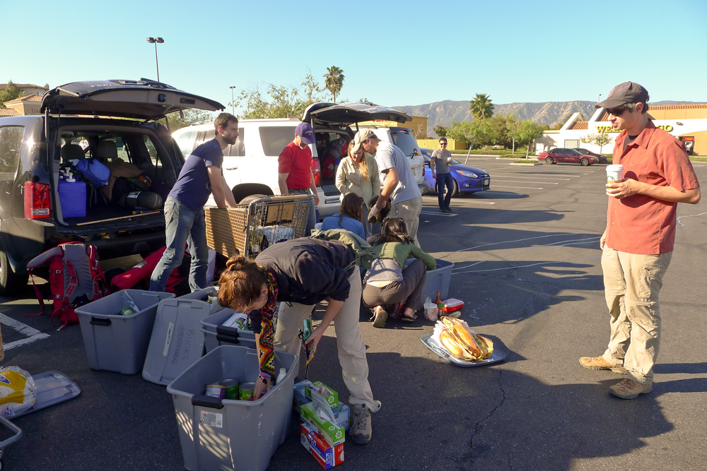
After gassing up and doing some grocery shopping, everyone converged on the backyard of Jere and Susie Lipps, who hosted a barbecue for our group. We left our gracious hosts around 11:00 and returned to Shawn's house in Yorba Linda.

Wednesday, March 25
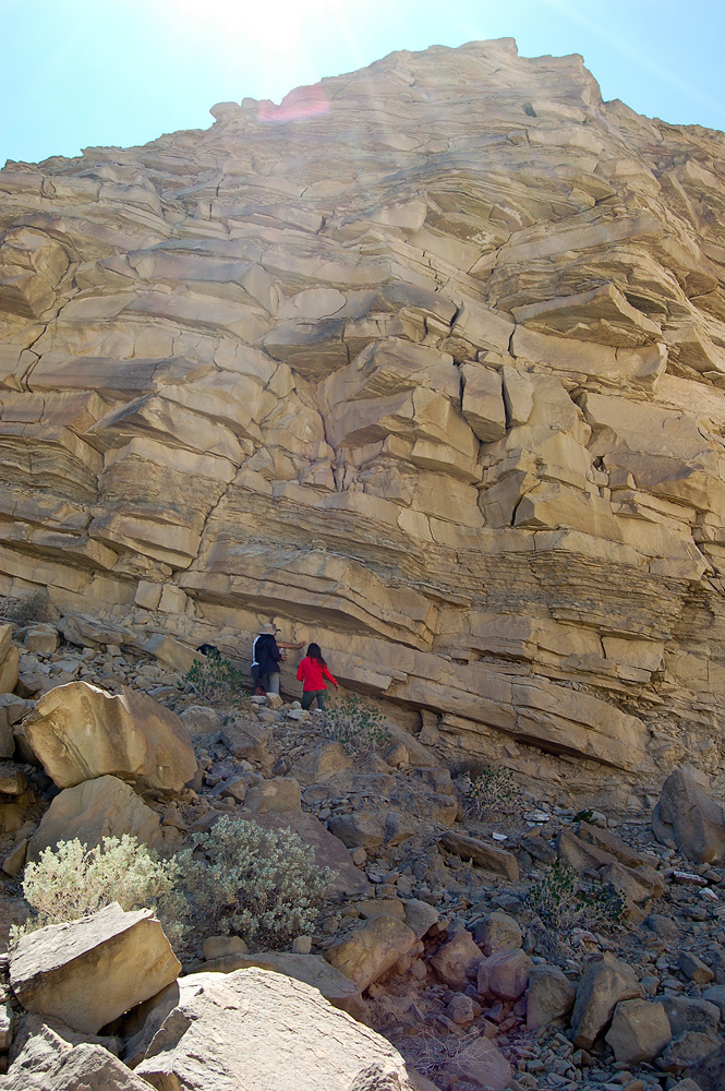
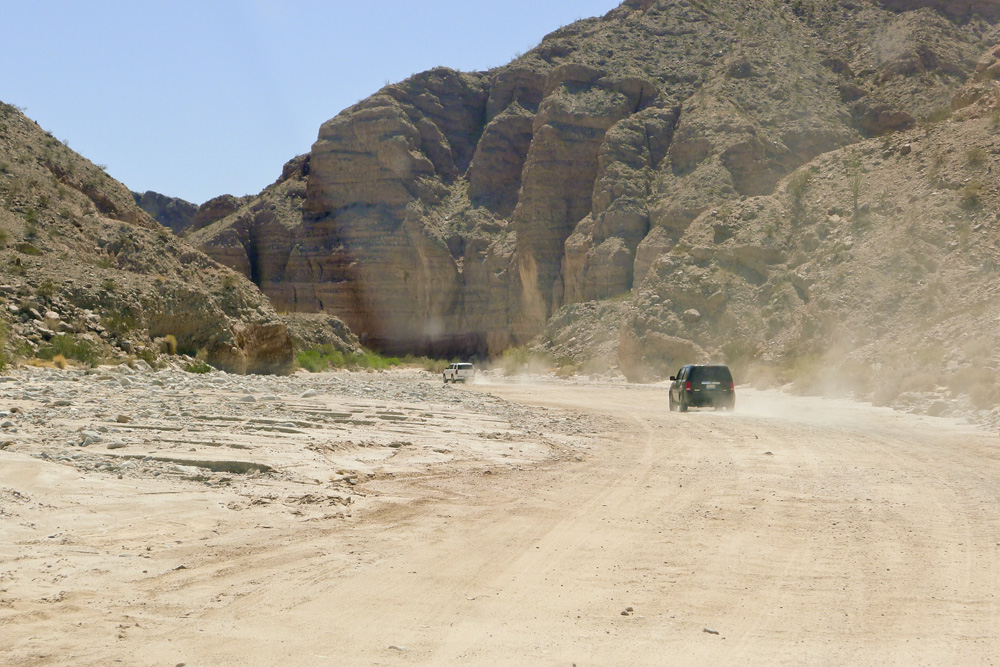
Early this morning, Lisa and Erica headed back to Berkeley because they had to be there for the National Parks summit, but the rest of us, accompanied by Shawn and his girlfriend, headed southeast to Anza-Borrego Desert State Park — east on State Route 91 to Interstate 15 south; then at Temecula, east on State Route 79, then County Route S2 to S22, and on into Borrego Springs. We paid a visit to the Anza-Borrego Visitor Center before heading to the southeast corner of the park and Split Mountain and Fish Creek Wash.

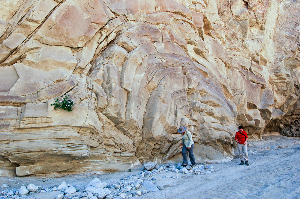
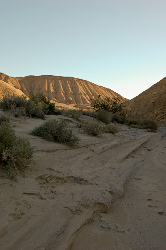
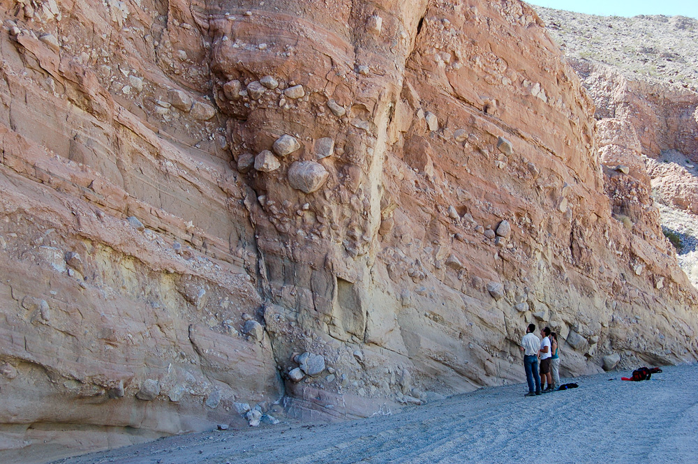
Seth had told us in advance what to expect at Anza-Borrego: "Pliocene marine, estuarine, deltaic, and terrestrial environments in the Imperial Formation of the Salton Trough. This is a very complex unit that records sedimentation in an evolving rift basin where the North American-Pacific plate boundary transitions from extensional to transform motion." That record of sedimentation, as revealed along Fish Creek Wash, really was quite remarkable.
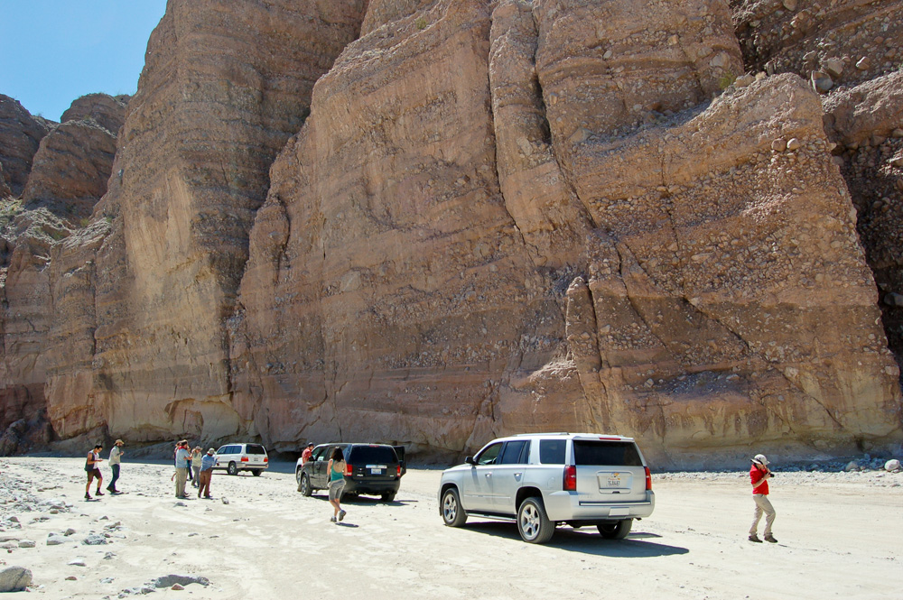
Our first stop was at the eastern end of Split Mountain, where cobble-rich layers representing high-energy flash flood deposits laid down across an alluvial fan were beautifully displayed. Farther west we encountered sediments that had been pushed upwards into a semicircular fold by an underwater landslide. Here, we said goodbye to Shawn and girlfriend, who decided (wisely) that they shouldn't take their SUV any farther into the canyon.
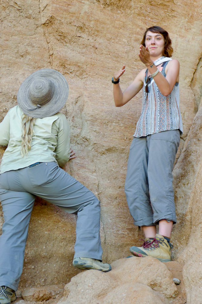
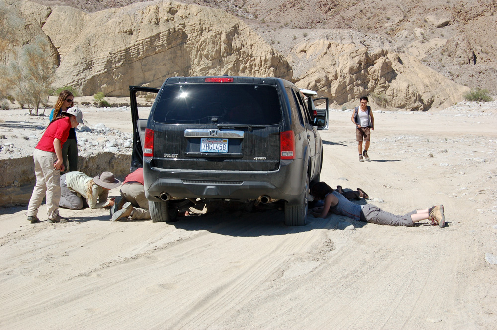
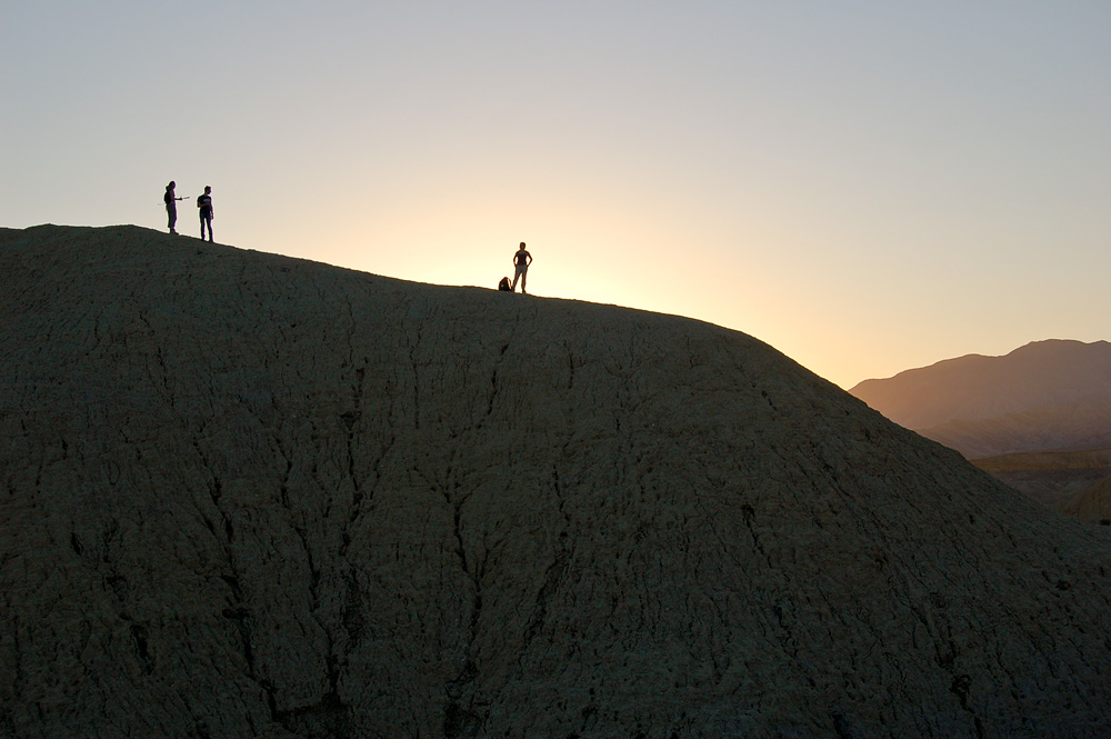
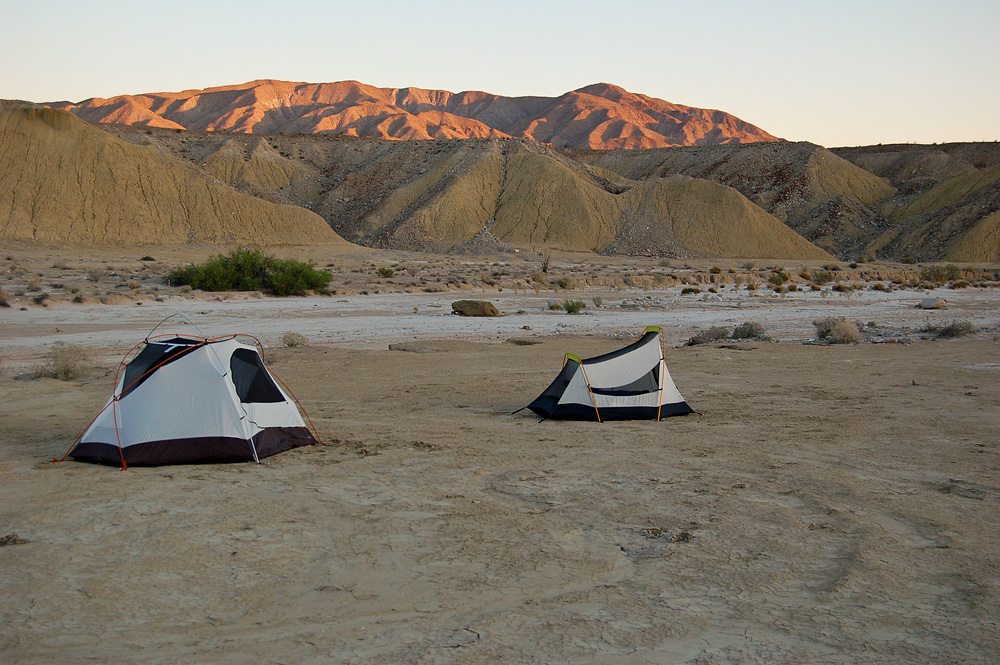
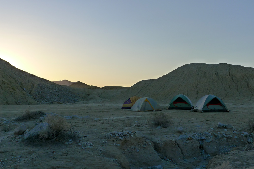
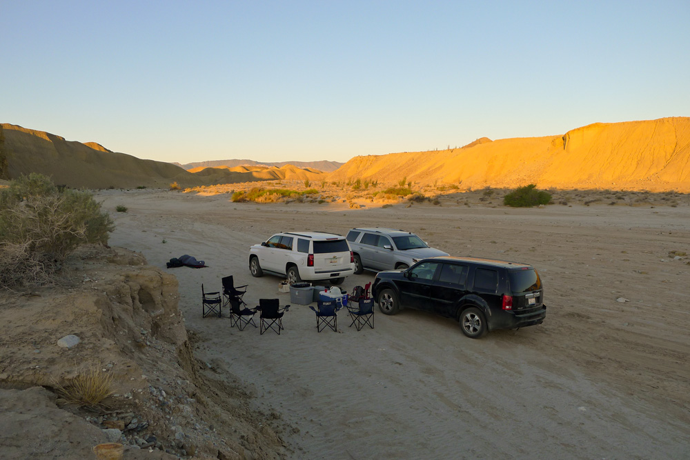
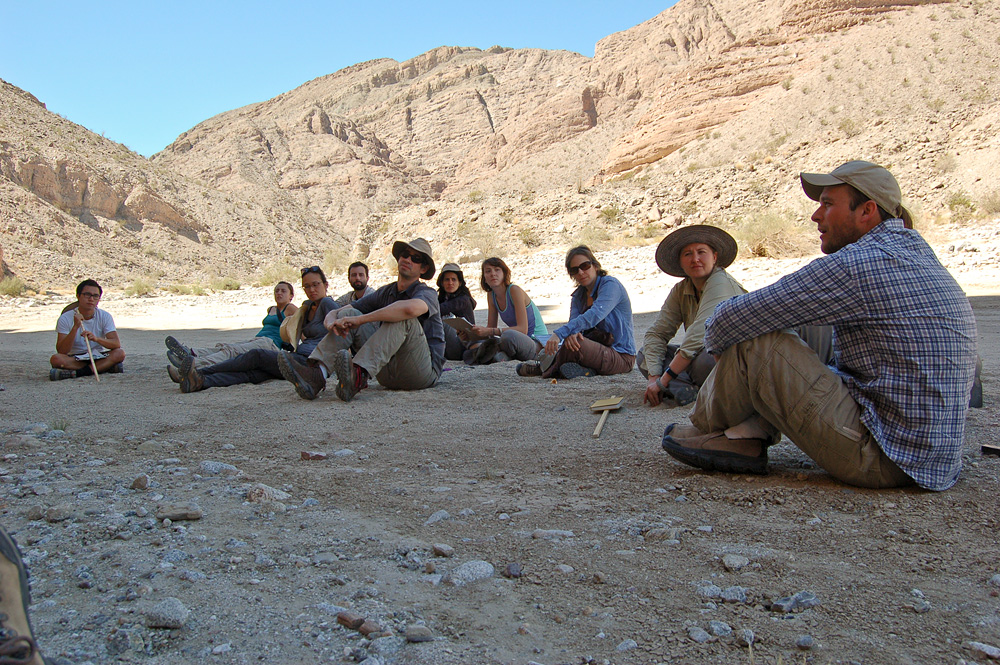
Before looking at any more geology, Seth thought we had better find a good place to set up camp, so we moved southwest along Fish Creek Wash and kept our eyes open … but not open enough apparently because one of the vehicles managed to get hung up on one high rock in the middle of the track. Seth was unfazed by this development and he and Ash got to work extricating the vehicle. This involved both jacking up three of the tires in order to jam large flat rocks under them and digging around the large rock in the road so that we might rotate it away from the bottom of the SUV. Cindy and some of the students took this opportunity to set out the lunch fixings. After about an hour, the vehicle was successfully driven off the rock and the hunt for a campsite continued. We found a good spot against the south side of the wash and set up our tents on the terrace above. As a late afternoon activity, Seth took us to Mud Hills Wash where we clambered around the hills to the north and east of the Elephant Knees Buttes until the sun went down. Back at camp, Zixiang put together a fantastic chili dinner.

Thursday, March 26
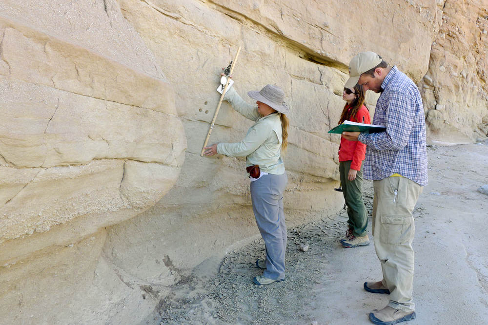
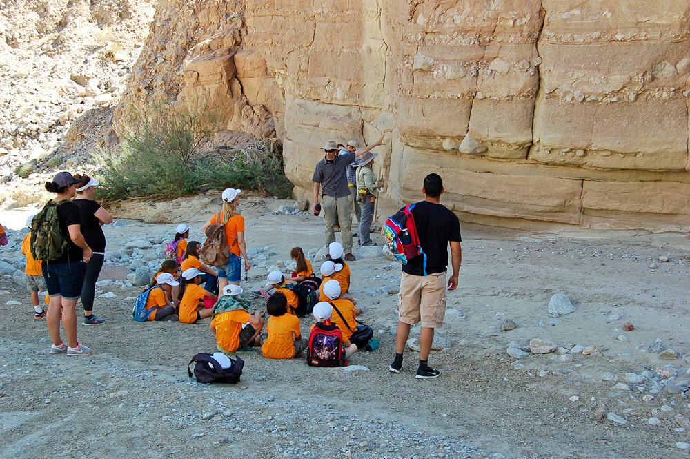
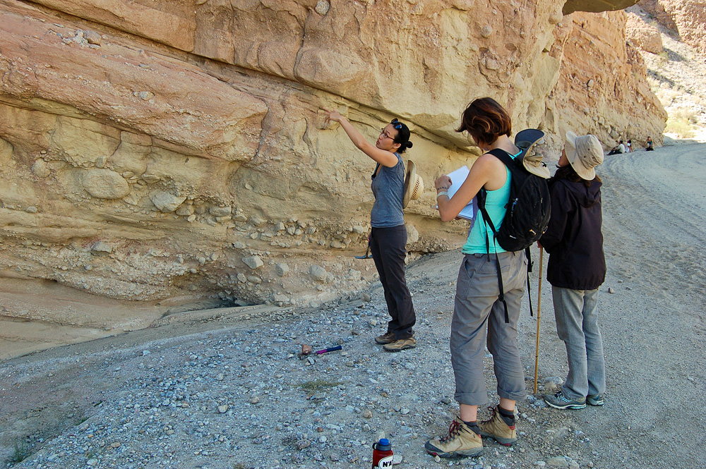
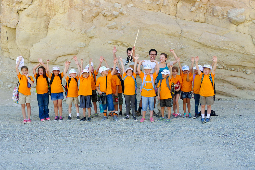
This morning we returned to the east end of Split Mountain, but on the drive there, we were surprised to see that someone had set up water stations at intervals along Fish Creek Wash. Clearly, some event was planned. We parked at the spot where we'd looked at the flash flood deposits the day before and Seth and Cindy divided the students into groups of three. Again, armed with clipboards and Jacob staffs, the groups set off to measure a stratigraphic section and ponder the origins of the rock layers. While they did that, Seth, Cindy, and Dave took all the water jugs and headed back towards civilization to look for a place to get them filled. On the way out of the wash, we discovered the purpose of the water stations that we'd seen: Busloads of second graders from the Imperial School District were doing a field trip of their own and would be hiking through Split Mountain both this day and Friday!
We didn't have to go far to find water. We pulled off at the Ocotillo Wells State Vehicular Recreation Area where there was a nice restroom and wash station. After filling the jugs, we returned to the students to listen to their observations and analyses of the rock layers. Before long, groups of second graders with adult chaperones began passing through the canyon.
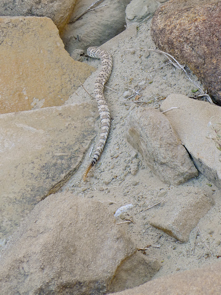
Relocating to the western end of Split Mountain, the students were asked to examine some very different-looking rock layers. These turned out to be a series of turbidites — underwater sediment flows that result from slope failures at shelf margins or the distal edges of large river deltas. A light-colored rattlesnake was seen at this location and news of it quickly spread to the second graders, who encouraged us to find more. One group of kids stopped to have their picture taken with "real paleontologists."